

Starting point
9-15
Rue de l'Eglise
4837 Baelen
4837 Baelen
Lat : 50.63178Lng : 5.971
Baelen: ridge walk and panorama

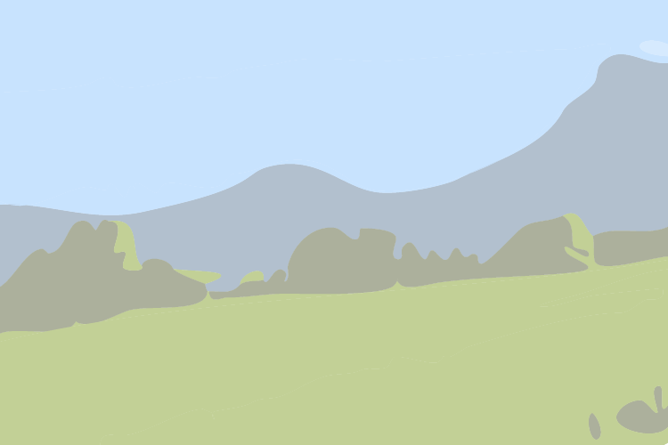
Between the village of Baelen and the centre of Dolhain, go and discover the hills and the hamlet of Hontlem in the heart of the former Duchy of Limbourg, via paths that are both beautiful and little known. The trails are marked with yellow diamonds and the Baelen coat of arms. Difficulty level: the relief is hilly and there are 2 steep slopes with a gradient of 50 metres. If it is raining, it is recommended to wear walking boots.
> Download the map in PDF format < (only in french)
| Signposting: yellow diamond + municipal coat of arms of Baelen | Loop circuit
Further information
Signalétique (EN)
No signage
2 h
Medium
8 km
max. 287 m
min. 203 m
Styles : HikingBaladeIn the countryIn town
Public : Accessible with prams/stroller
Themes : Nature walkMajor sitesReligious
Select background map
IGN MAP

AERIAL PHOTOS / IGN


OPEN STREET MAP


Nearby tours
Author Information

Maison du Tourisme du Pays de Vesdre
Author
Powered by Cirkwi - Read Terms of Use