

Starting point
9-15
Rue de l'Eglise
4837 Baelen
4837 Baelen
Lat : 50.63178Lng : 5.971
Baelen : walk around the village

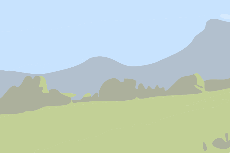
A 4.7km walk during which it will be difficult to leave the view of the spired bell tower of the church of Baelen. The hilly nature of the walk makes it easy to discover the highest point of Baelen and offers spectacular views of the countryside. Children will enjoy this walk as they will come across cows, donkeys, chickens, goats and horses along the way.
> Download the PDF of the walk < (only in french)
| Signposting: orange diamond + Baelen coat of arms |
Particular difficulties: hilly terrain but accessible to all: bike, pushchair, dog.
Further information
Signalétique (EN)
No signage
1 h
Medium
Stroller tour
Tour accessible to public transportation
4.7 km
max. 310 m
min. 240 m
Styles : HikingBaladeIn the countryIn town
Public : FamilyAccessible with prams/stroller
Themes : CulturalPatrimonyNature walkMajor sitesReligious
Select background map
IGN MAP

AERIAL PHOTOS / IGN


OPEN STREET MAP


Nearby tours
Author Information

Maison du Tourisme du Pays de Vesdre
Author
Powered by Cirkwi - Read Terms of Use